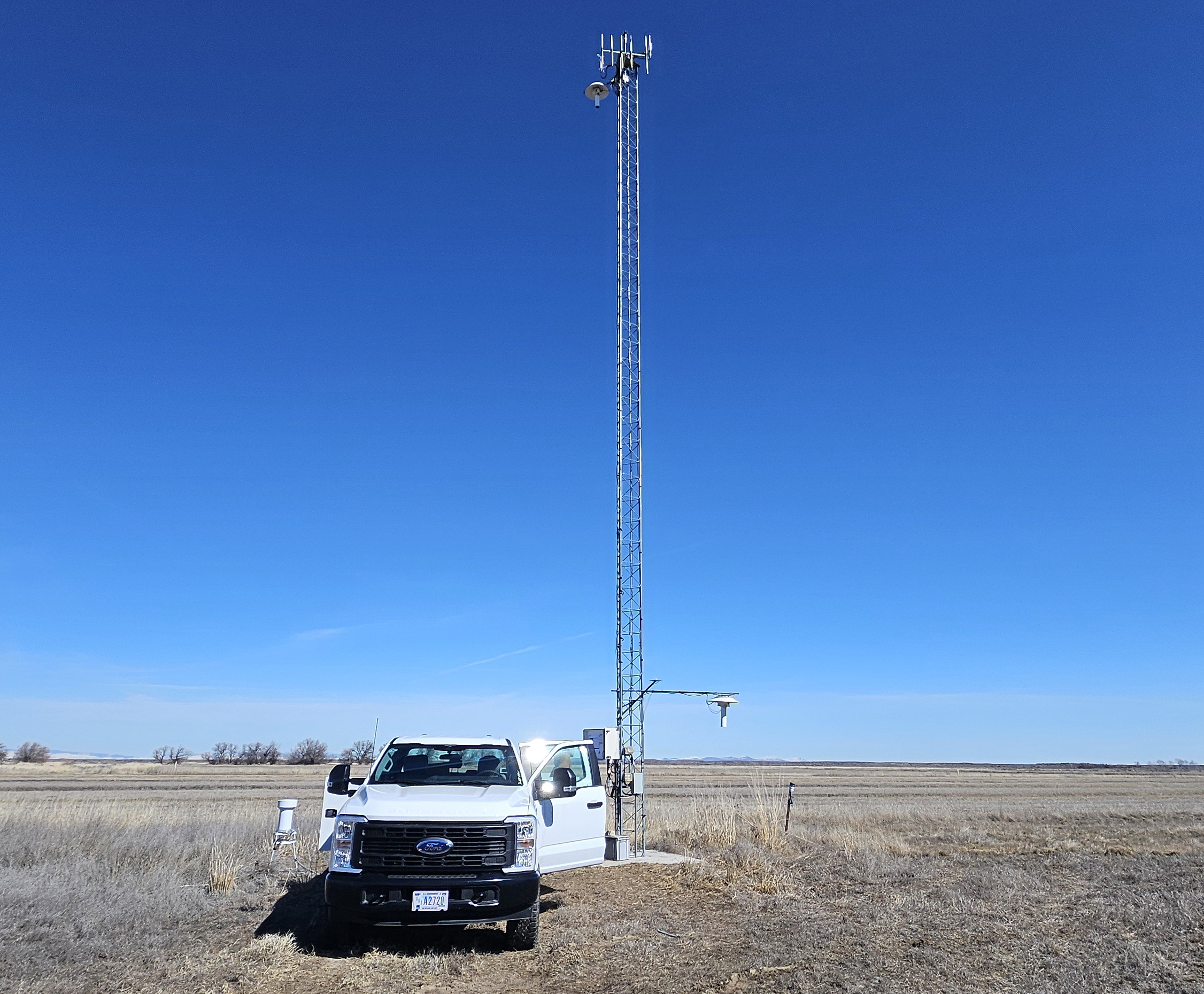
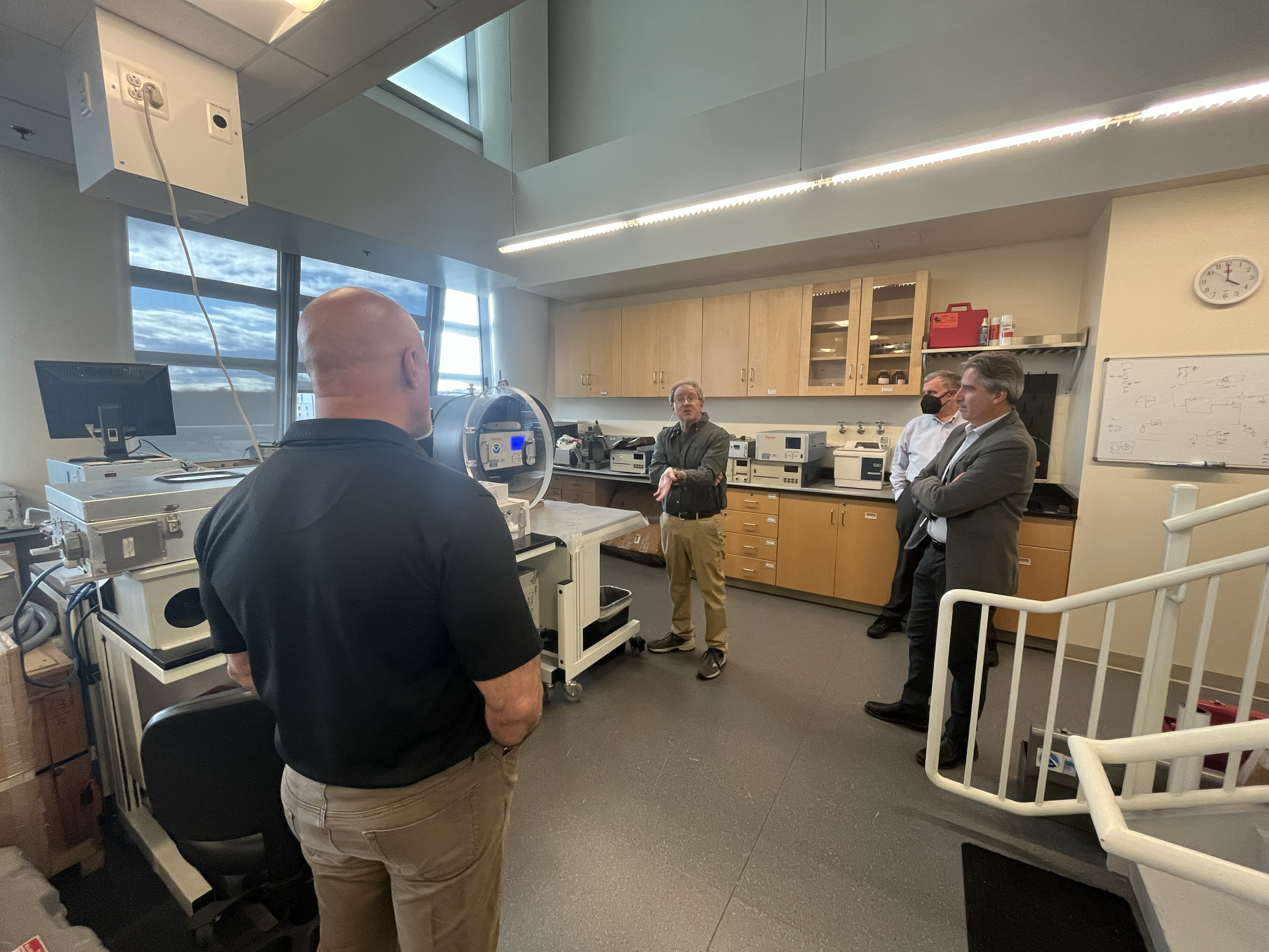
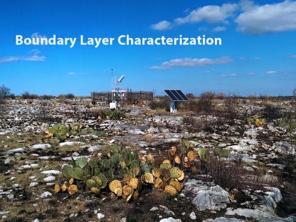
The Air Resources Laboratory’s (ARL) mission is to improve the ability of the Nation to protect human and ecosystem health and to support a vibrant economy through advanced atmospheric sciences and technologies. ARL’s research focus is on the surface of the earth from a few feet below the soil up to 2-3 miles in the atmosphere (aka the boundary layer), which has a direct impact on people’s health and safety, business, and the environment. ARL studies the physical and chemical processes that occur in the boundary layer, on time scales spanning a few hours to several years.
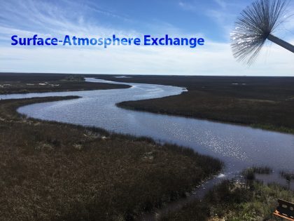
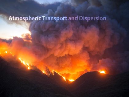
ARL studies the mixing, exchange, and transformation of energy, moisture, trace gases, and particles, and contributes inputs to meteorological models and forecast operations that are vital in improving weather, climate and air quality forecasts. Primary applications include emergency response, homeland security, air quality, weather forecasts and climate outlooks, and commerce and transportation. ARL’s vision is to effectively protect people, the environment, and commercial activities from atmospheric risks using the best available scientific understanding of boundary layer processes.